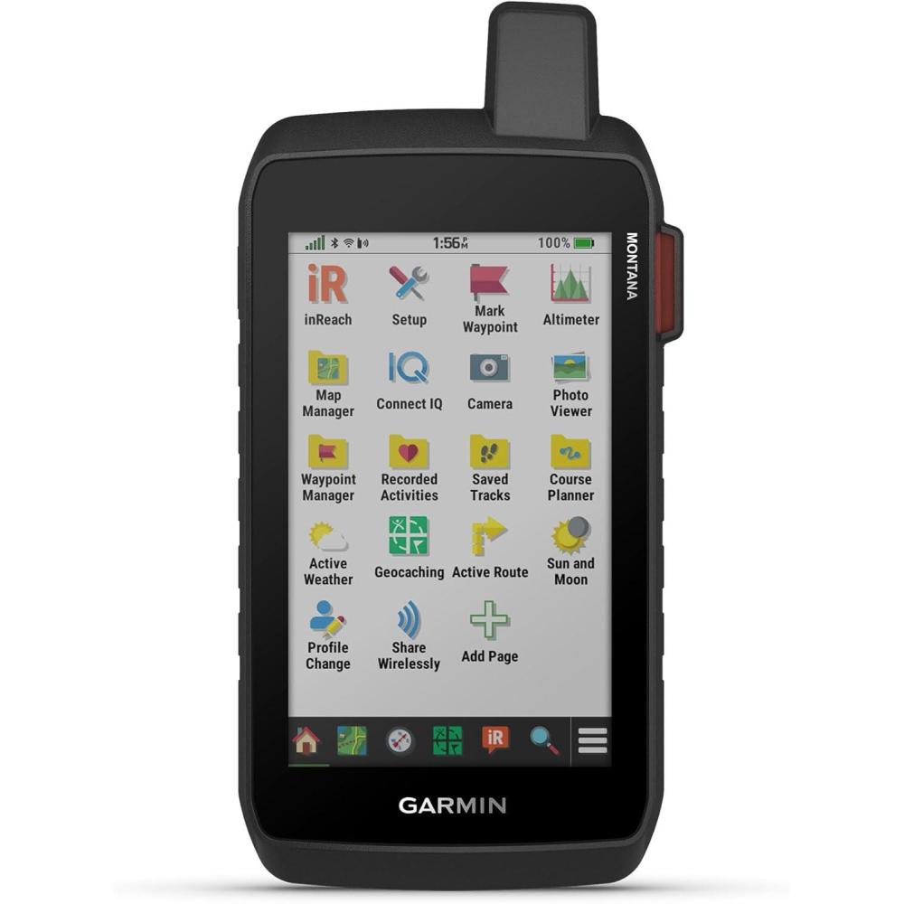
Description
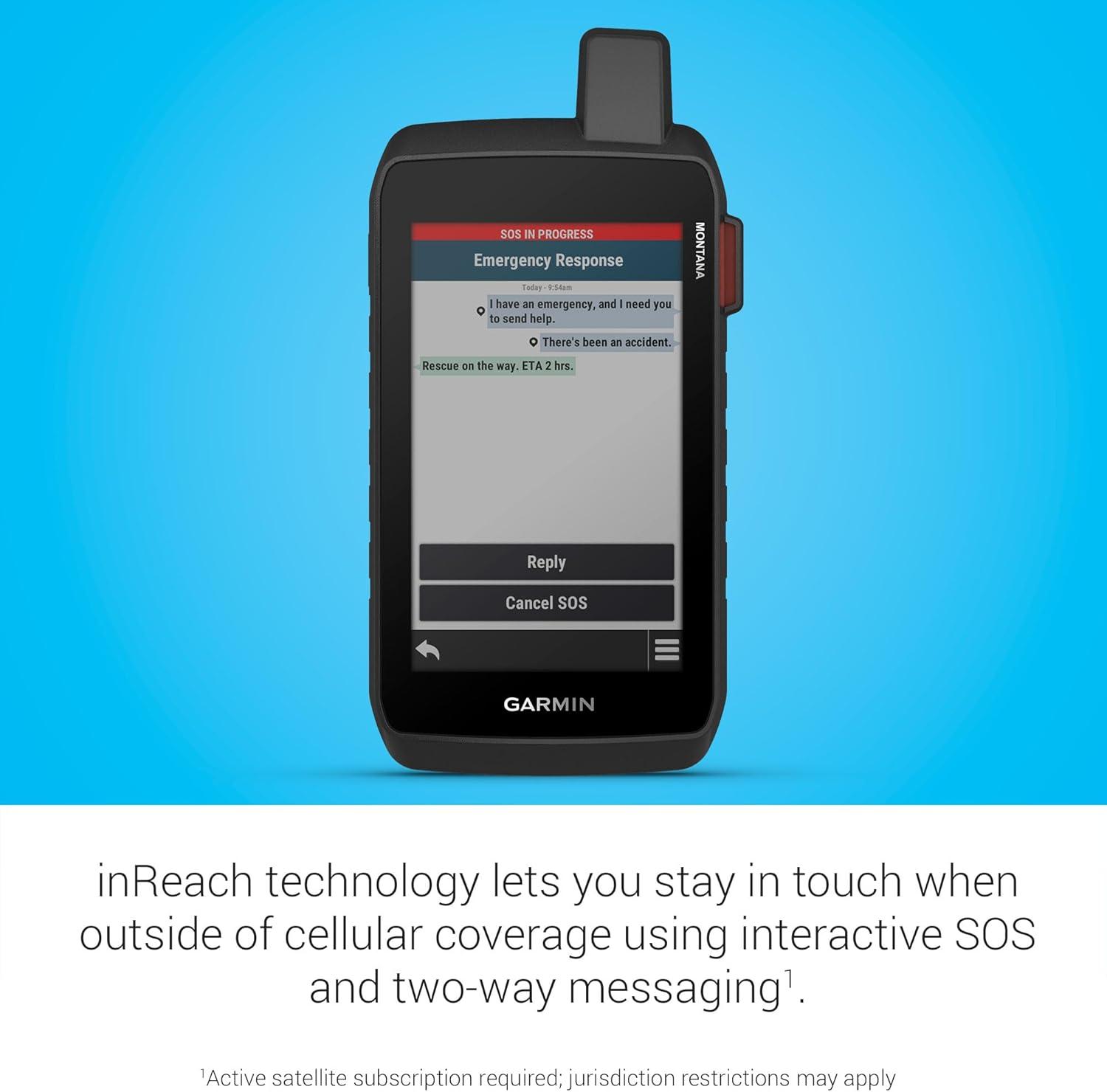
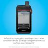
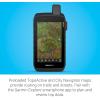
Rugged 5” handheld GPS navigator with inReach technology helps guide your adventures and keep you connected to loved ones when you go beyond the limits of cell service (active subscription required; some jurisdictions regulate or prohibit the use of satellite communication devices)
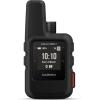
Venture with peace of mind; an active inReach satellite communication subscription gives you access to two-way text messaging via the 100% global Iridium satellite network and interactive SOS to the Garmin Response team, an international 24/7-staffed emergency response coordination center (some jurisdictions regulate or prohibit the use of satellite communication devices)
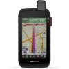
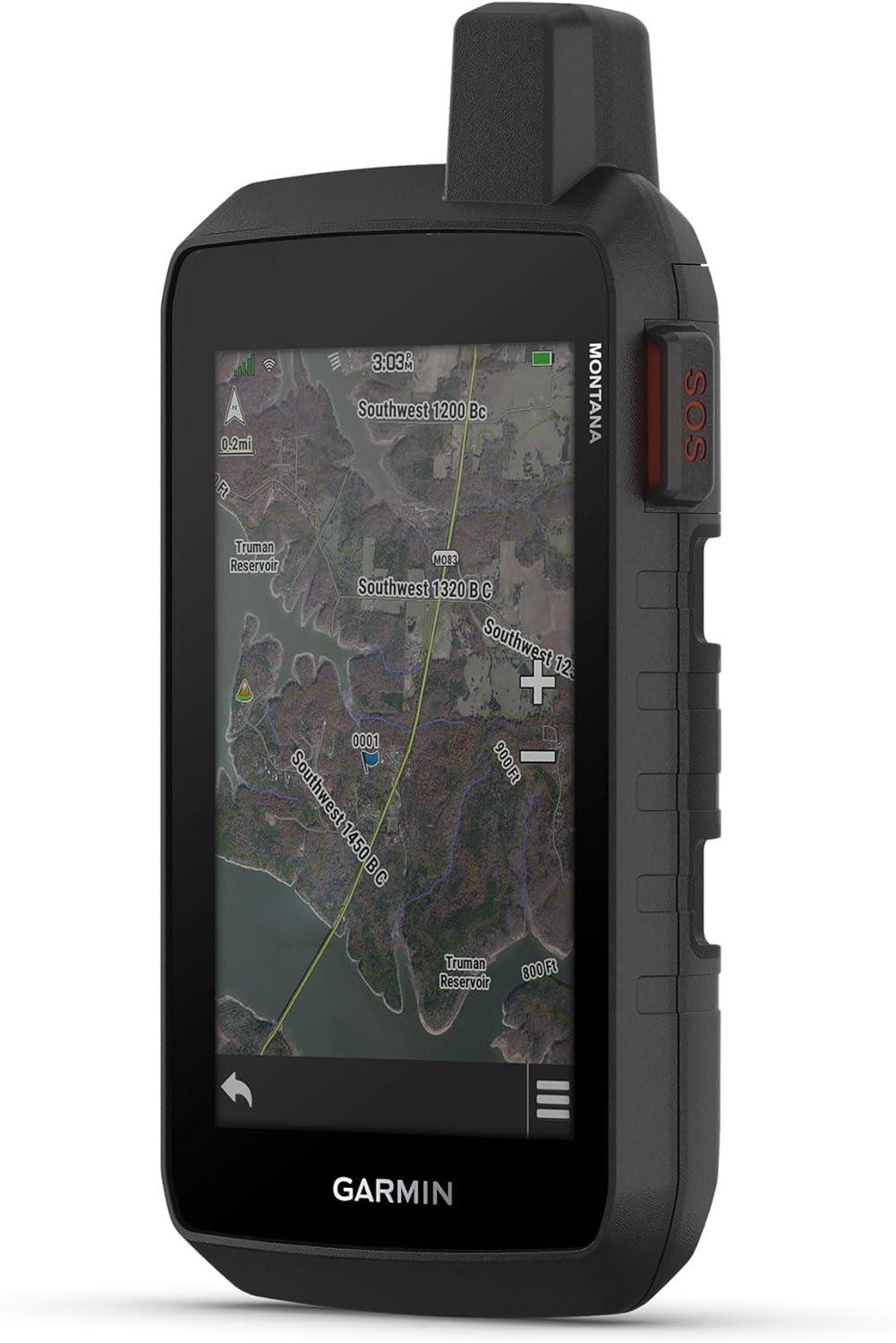
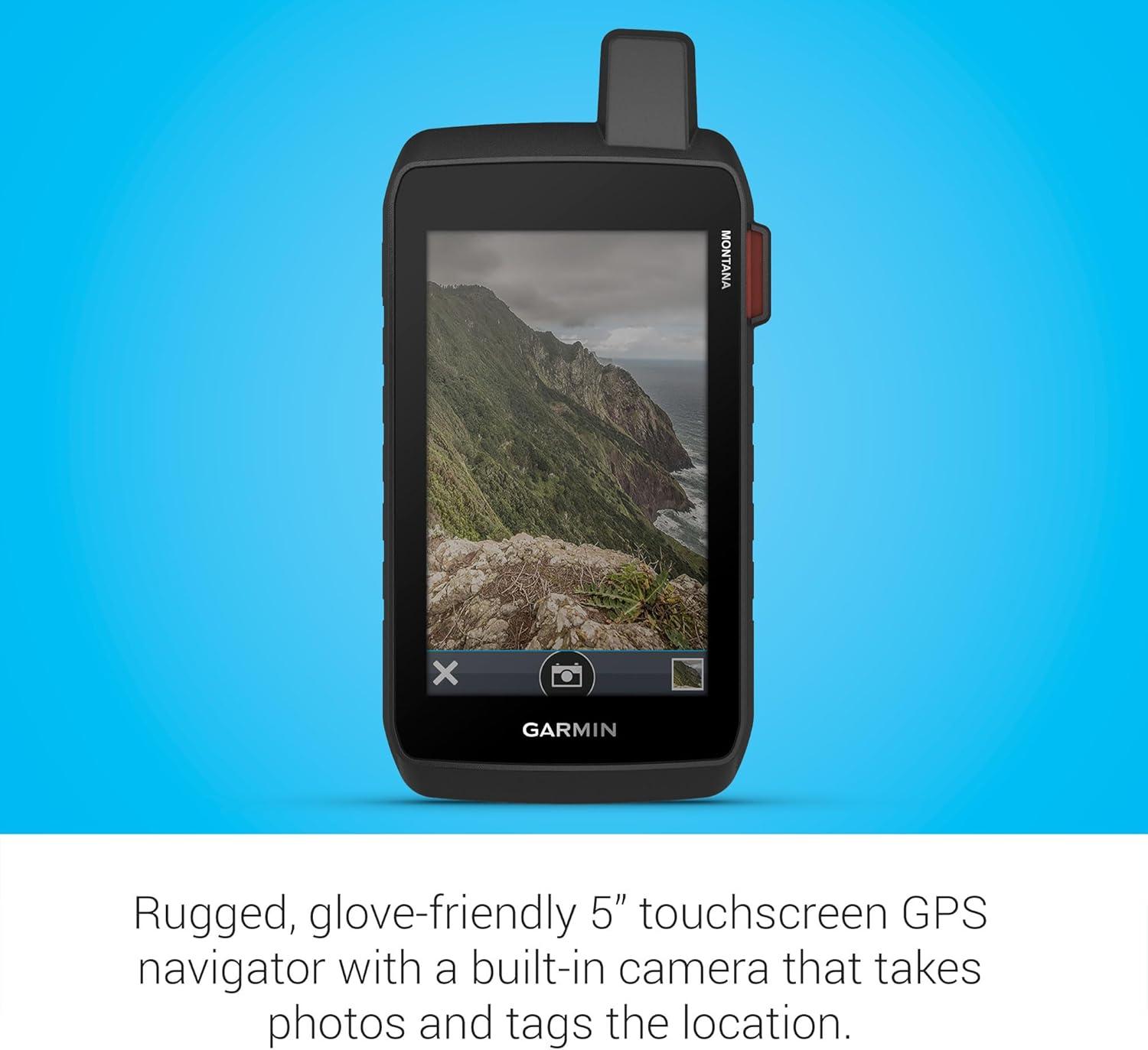
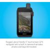
5” glove-friendly, easy-to-view color touchscreen; available with versatile mounting options (sold separately), depending on your activity
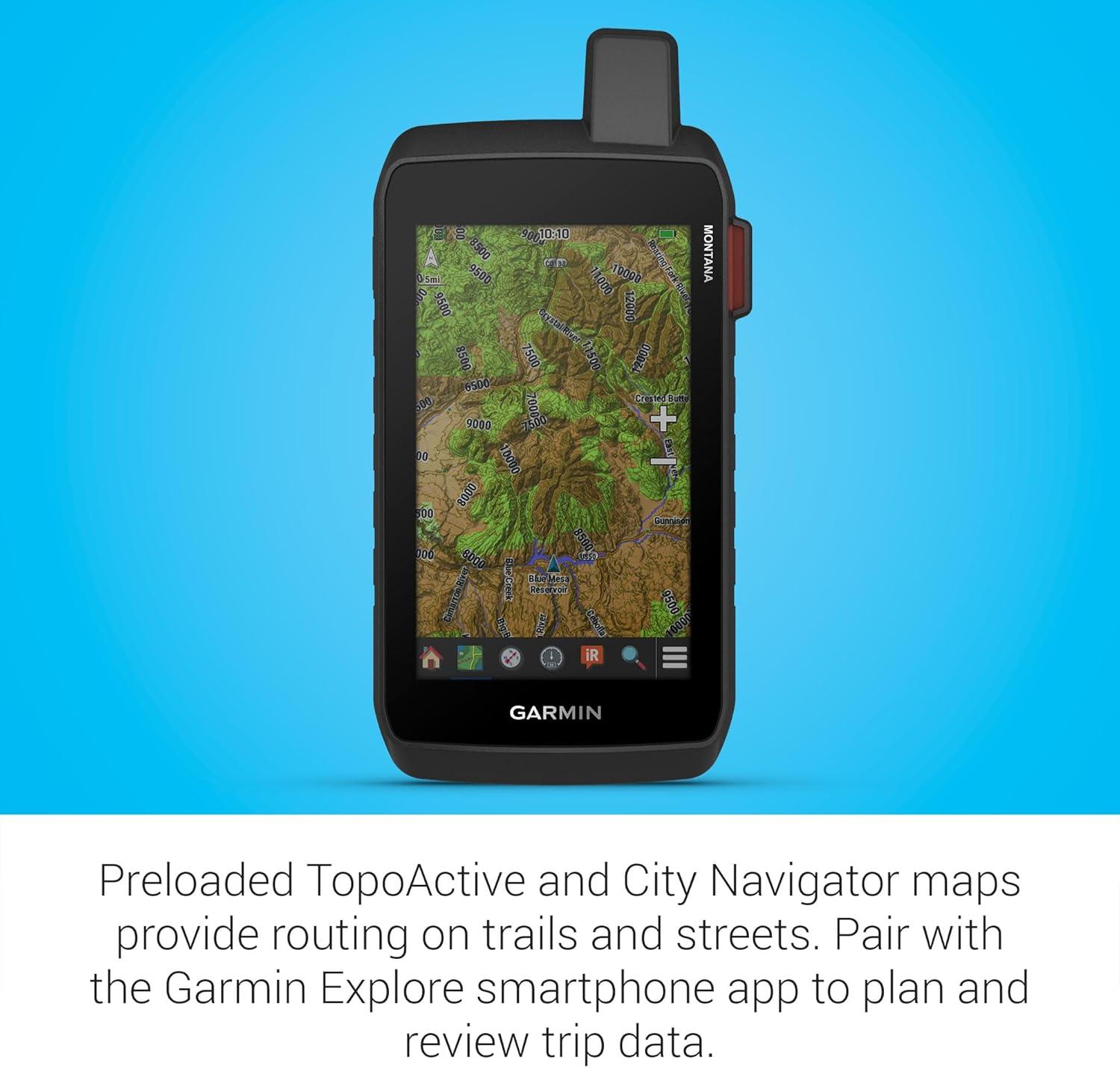
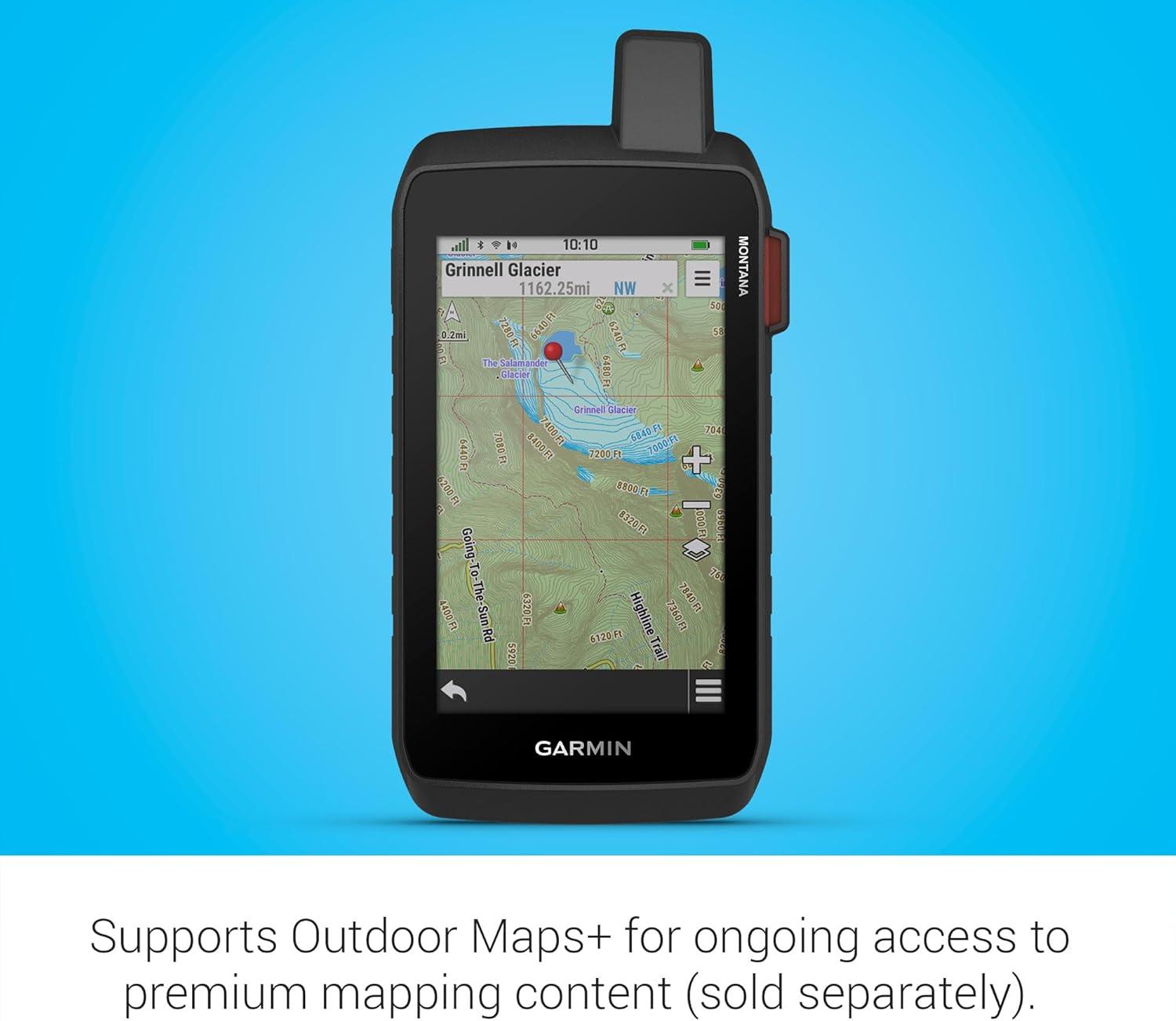
Navigate your adventures with included TopoActive maps for unpaved roads and trails, City Navigator maps for streets and the ability to download additional maps, such as BlueChart g3 charts for water (sold separately)
Rugged construction is rated to MIL-STD 810 for thermal, shock and vibration and IPX7 for water-resistance
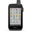
Downloadable high-resolution satellite imagery shows photorealistic overhead views and lets you create waypoints based on landmarks
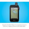
Expanded 32 GB memory capacity lets you store additional maps and more to keep your expeditions on course; with a subscription to Outdoor Maps+ (sold separately), get ongoing access to a wide variety of premium mapping content, which you can download to your navigator via Wi-Fi technology
Stay on track and in touch with the rugged Montana® 710i handheld GPS navigator with inReach® technology. Built to guide you through all kinds of adventures, it includes TopoActive mapping and a glove-friendly 5” color touchscreen. When you go beyond the limits of cell service, stay connected with inReach technology for two-way text messaging, live tracking and interactive SOS alerts to the Garmin ResponseSM team, a 24/7-staffed international emergency response coordination center (active subscription required; some jurisdictions regulate or prohibit the use of satellite communication devices). Expanded 32 GB memory capacity lets you store more maps to keep your expeditions on course. High-resolution satellite imagery, available via subscription-free, direct-to-device downloads (requires a connection with Wi-Fi® technology), shows a clear overhead view of your route and surrounding terrain. Get the on- or off-road capabilities you need with multi-GNSS support and ABC sensors. Add ongoing access to Outdoor Maps+ (sold separately) for a wide variety of premium mapping content. Explore longer with up to 24 hours of battery life in GPS mode and up to 432 hours in ultralow-powered expedition mode, and recharge easily with a standard USB-C® cable. Plus, Montana 710i meets MIL-STD 810 for thermal, shock and vibration and is rated IPX7 for water-resistance


Reviews
There are no reviews yet.